|
|
||||||||||||||||||||||||||||||||||
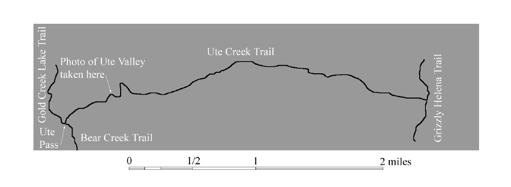
Ute Creek Trail 1128 |
|||||||||||||||||||||||||||||||||||
 |
|||||||||||||||||||||||||||||||||||
|
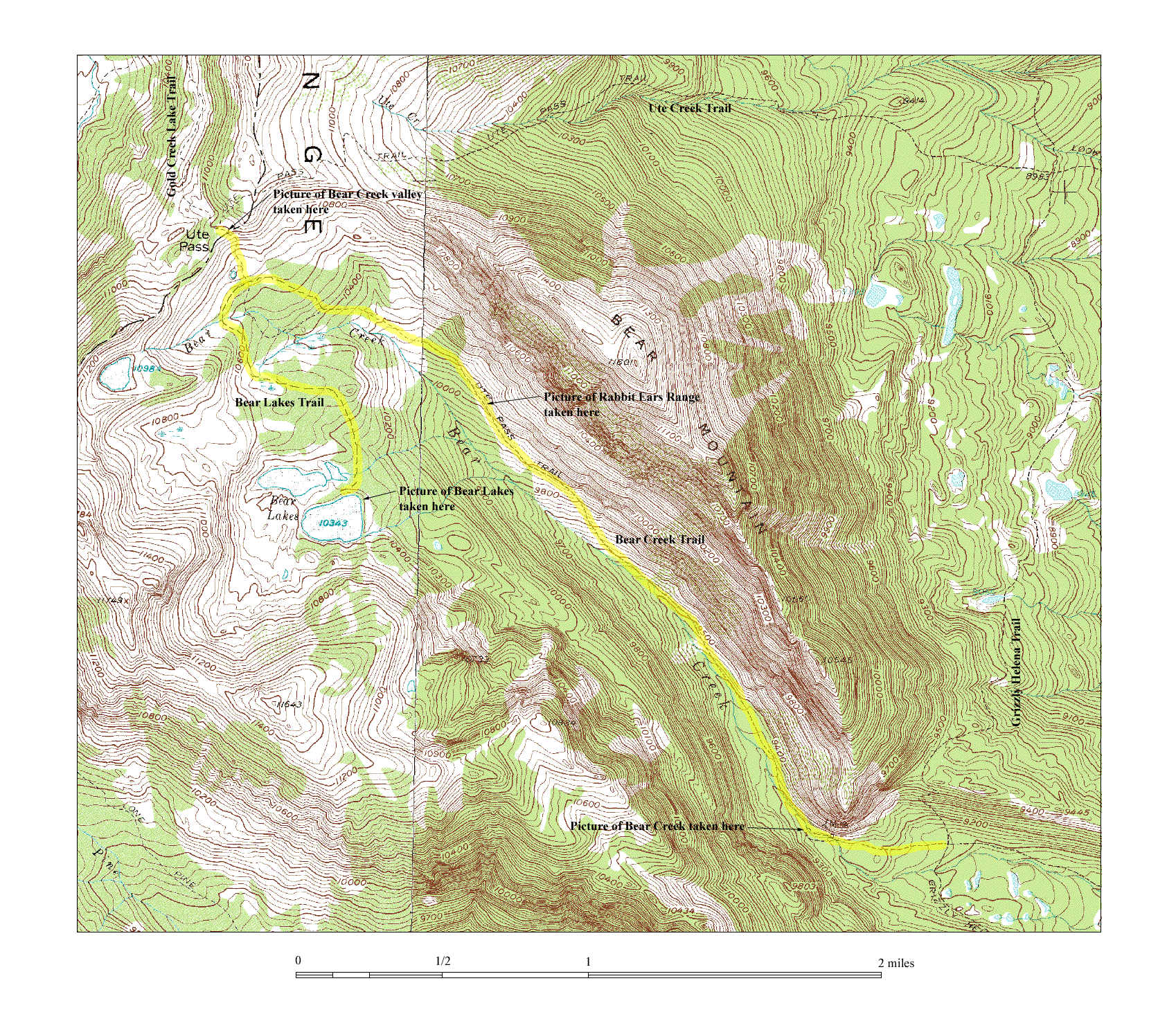
The map above is provided to minimize download time. To see the full topographical version of the map, click on the thumbnail below.
You can also access a larger map which shows Ute Creek Trail and all of Bear Creek Trail and Bear Lakes Trails as well. To see it, click on the thumbnail below.
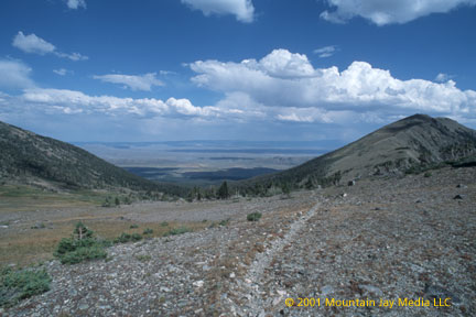
Ute Trail This picture was taken not far from Ute Pass. The Ute Creek valley lies ahead with North Park beyond. |
|||||||||||||||||||||||||||||||||||